Build native apps
Develop native apps for visualization of Geographic Information in Android 8.0 or higher mobile devices.
Straightforward API
Its simple, straightforward and intuitive API allows you to get up and running quickly and get amazing results in short time.
Flexible
Build applications for multiple industries thanks to its flexible API: Defense, Security, Geo-Marketing ...
Hardware accelerated
Hardware accelerated graphics keeps free the CPU to perform other tasks in your application.
Multithreaded processing
Designed to take advantage of modern multi-core processors.
Asynchronous processing
The user interface of your application is always responsive thanks to the asynchronous processing and rendering.
Locally stored datasets
CrossGeo Touch provides access to most popular raster formats: GeoTIFF, MBTiles, Geopackage...
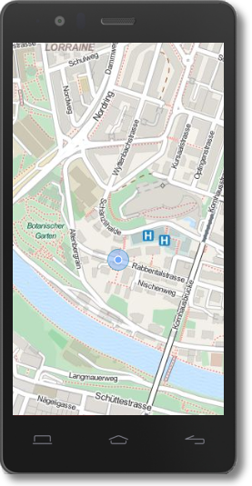
Online map services
Support OGC Web-services: WMS and WMTS. Easily access to most popular tile servers: OpenStreetMap, Bing Maps, Stamen, Mapbox, 3D Tiles....