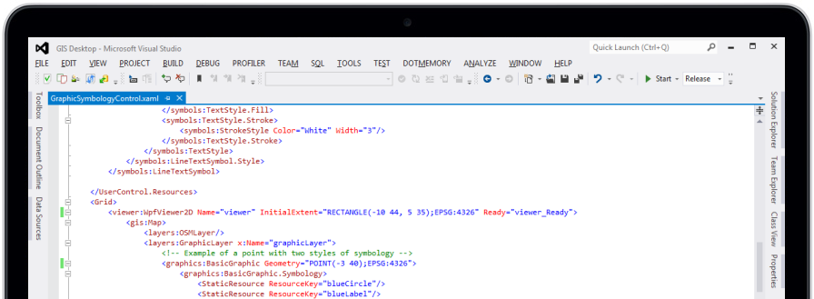
WPF and Windows Forms
CrossGeo .Net provides WPF and Windows Forms controls for displaying geographic information in 2D and 3D.
Straightforward API
With its simple and intuitive API you can get amazing results in a short time.
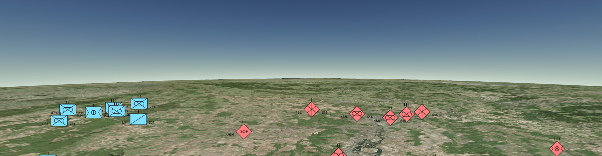
Flexible
Develop applications for multiple industries thanks to its flexible API: Defense, Security, Geo-Marketing ...
Hardware accelerated
Hardware accelerated graphics keeps free the CPU to perform other tasks in your application.
Multithreaded processing
Designed to take advantage of modern multi-core processors.
Asynchronous processing
The user interface of your application is always responsive thanks to the asynchronous processing and rendering.
No preprocessing required
Avoid long processes of cartography transformation by directly accessing to dozens of data sources in their original format.
Spatial databases
Access to cartography stored in spatial databases: Microsoft SQL Spatial, MySQL, Oracle Spatial, PostgreSQL/PostGIS.
File formats
Support for dozens of raster and vector formats: GeoTIFF, ECW, MrSID, JPEG2000, CADRG/CIB, Shape, MapInfo, FileGDB, GeoPackage, GML, KML...
Online cartography
Support for OGC Web-services: WMS, WMTS, WFS and WCS. Easily access CARTO's map services: anonymus maps, named maps and Torque. Compatible with most popular tiles servers: OpenStreetMap, Bing Maps, CARTO, Stamen.